

Search our site
Looking for a specific file or document? Browse our Resource hub.
Looking for a specific file or document? Browse our Resource hub.

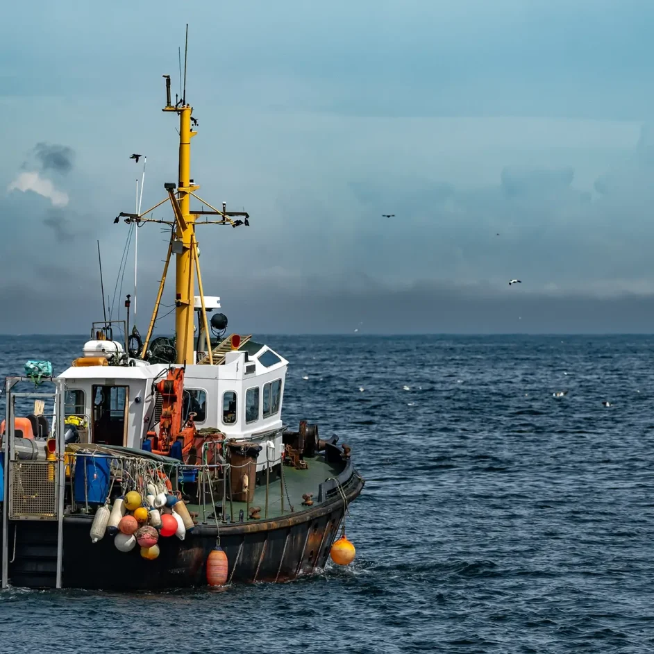
The NIFCA district encompasses the vibrant inshore waters along the Northumberland and North Tyneside coastline. Our jurisdiction stretches from the centre of the River Tyne in the south to the Scottish border in the north, extending out to six nautical miles from the baseline.
This area also includes all rivers and estuaries within the district up to their National Tidal Limit (NTL). The Northumberland fishing district represents a diverse marine landscape that we are proud to patrol, manage, and protect.
Explore the NIFCA district
Protected waters
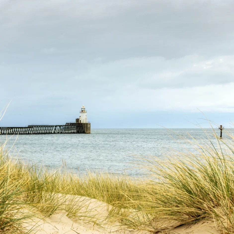
The seas around the UK support a diverse range of species and habitats, and the coastal waters of Northumberland are nationally important for their marine wildlife. Marine Protected Areas (MPAs) are designated coastal, marine, and estuarine sites created to protect these valuable habitats and species.
There are 10 MPAs within the Northumberland fishing area, each with its own specific conservation objectives. To safeguard these environments, certain activities may be restricted or managed within these zones. You can explore specific protected features and current management measures by using the interactive map above.

Our headquarters
Beyond enforcement, we are committed to the scientific health of our waters. Our ongoing environmental monitoring and surveys, conducted throughout the district, provide the essential data required to track species health and habitat recovery. By integrating this research into our daily operations, we can adapt our fisheries management strategies to meet the region’s evolving needs.
Visit us in Blyth
The NIFCA office is located toward the south of the district in Blyth. We welcome visitors who wish to collect tags, seek guidance on regulations, or speak directly with an Officer regarding activities within the district.
The Northumberland fishing district covers six nautical miles of vital inshore waters, stretching from the River Tyne to the Scottish border. Explore the links below to see how we manage, protect, and remain accountable for these diverse coastal environments.

Discover how our team patrols the coast to ensure fair play and protect our shared marine resources through proactive enforcement.

Learn how we safeguard the ecological health of the district. We conduct essential scientific monitoring and surveys to ensure a sustainable future across the inshore zone.

NIFCA operates with a commitment to public accountability. See how we make decisions, report on our performance, and balance the needs of the Northumberland fishing community.