

Search our site
Looking for a specific file or document? Browse our Resource hub.
Looking for a specific file or document? Browse our Resource hub.

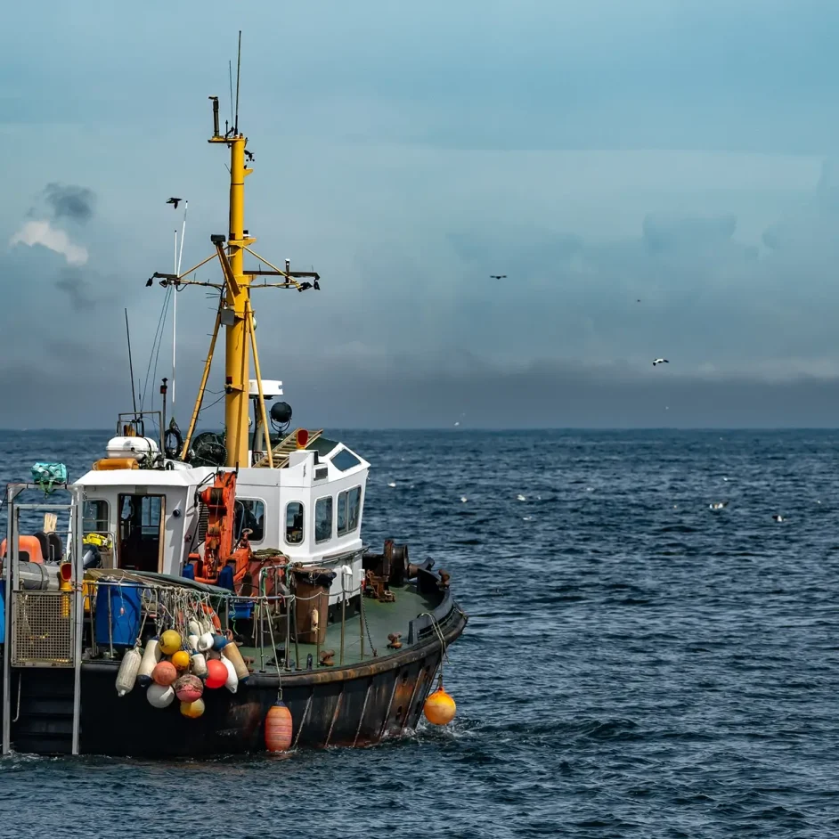
Marine research is key to NIFCA's mission to manage sustainable fisheries and protect local ecological diversity. Our dedicated team of environmental officers conducts comprehensive studies, ranging from quayside biometric sampling to high-resolution seabed mapping, to ensure every management decision is rooted in robust scientific evidence.
Crustacea research
Managing our most economically significant stocks requires constant monitoring of population dynamics. In the 2024–25 period, our team sampled 1,953 fishing pots, measuring 2,228 lobsters and 2,287 crabs to track size distribution and sex ratios.
We have also successfully reintroduced the V-notching scheme, with 1,474 breeding-age lobsters released back into the fishery to support future generations. Furthermore, we are trialling inshore Nephrops burrow count surveys to complement national data and better understand abundance in areas like the Farne Deeps.

Intertidal ecology
Our intertidal zones are vital habitats that face unique pressures from hand-gathering and bait collection. We conduct annual surveys on mussel beds at the Blyth Estuary, Fenham Flats, and Holy Island, monitoring biomass and density to ensure sufficient food resources for local bird populations.
To assess the impacts of periwinkle collection, we record intertidal activity through routine patrols and use innovative technology like UAV (drone) surveys to monitor bait collection devices within our estuaries.

Finfish & angling
The Aln Estuary serves as a critical nursery ground for juvenile fish, and our biannual seine and fyke net surveys are essential components of our marine research, which track these shifting populations.
In 2024–25, our officers spoke with 44 anglers and measured 1,534 fish to build a detailed picture of regional finfish diversity. We are also leading a bass scale project, which uses scale samples provided by the recreational community to determine the age and origin of European seabass as their range shifts northward into our district.

Habitat & technology
Safeguarding our Marine Protected Areas (MPAs) requires high-resolution data on the features we manage. Using WASSP multibeam sonar from our patrol vessel, St Aidan, we collect data on seabed depth and hardness to create detailed habitat maps through OLEX software.
This allows us to precisely manage gear impacts. Currently, 100% of our district is protected from dredging, while 40% is protected from all bottom-towed gear to safeguard sensitive substrates.

Strategic partnerships
NIFCA works closely with academic and environmental partners to expand our research capabilities. We maintain a long-standing relationship with Newcastle University, supporting research into the resilience of fishing communities to climate change and stock assessment modelling for the lobster fishery.
Past collaborative successes include investigating the impacts of dredging on scallop habitats and exploring the social networks of fishers to understand how information flow influences fishing success across the Northumberland coast.

Data for the future
Transparency is key to effective marine management. We submit all findings from our environmental surveys and research projects to the ERIC North East records centre and ensure they are available for public review. Whether you are looking for the latest Stock Status Reports, MPA assessments, or our Annual Research Plan, you can find these in our Resource Hub.